 Hiking Gold Bar (Jeep) Arch
Potash Road
Overview
|
Sun 70 | 44 |
Mon 78 | 42 |
Tue 81 | 48 |
Wed 79 | 49 |
Thu 81 | 47 |
| View Full Weather Details | ||||
|
Sun 70 | 44 |
Mon 78 | 42 |
Tue 81 | 48 |
Wed 79 | 49 |
Thu 81 | 47 |
| View Full Weather Details | ||||
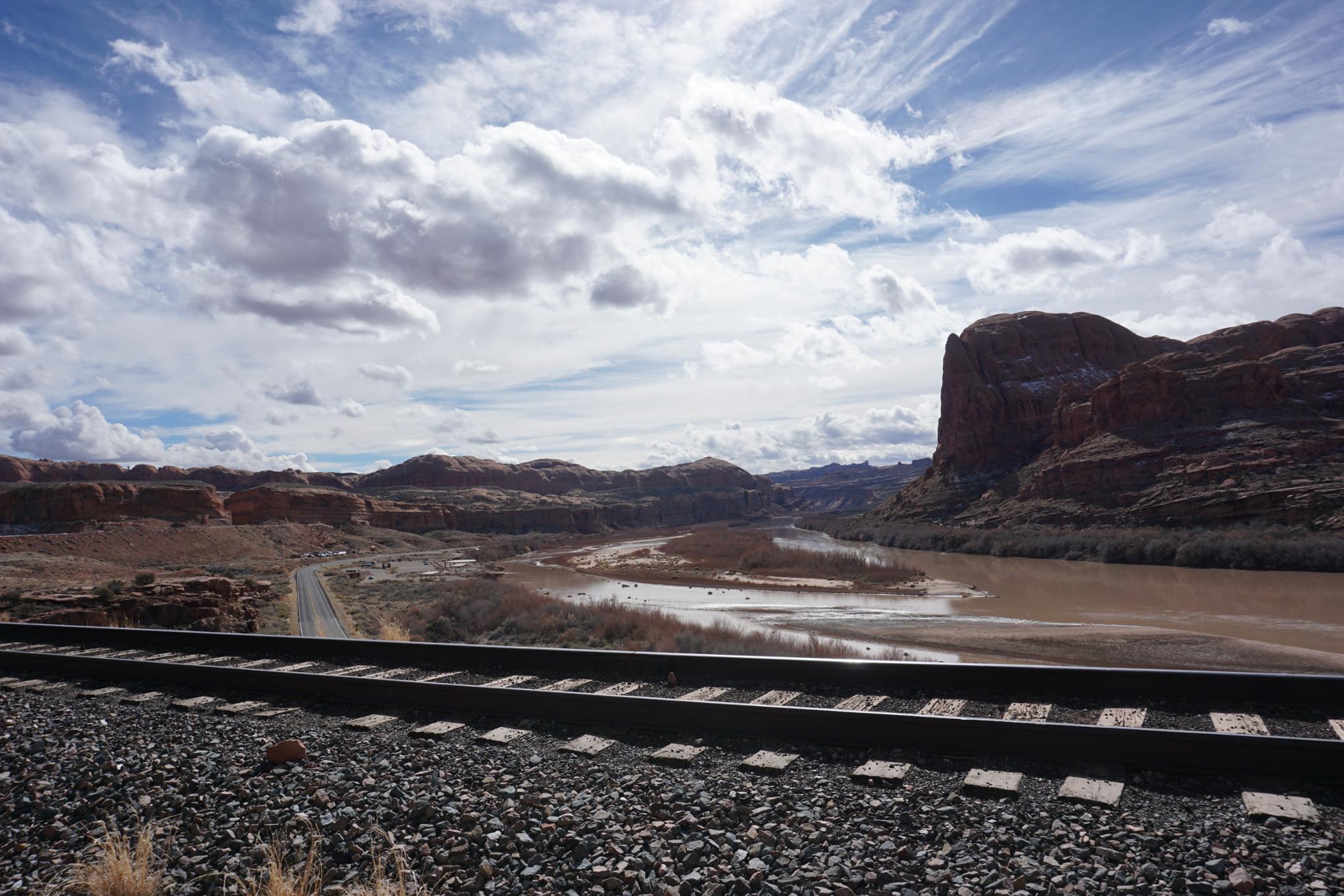
The railroad near the trailhead.
Though just a minute more down the road than Corona Arch, Gold Bar (Jeep) arch sees quite a bit less traffic. Personally, I think Gold Bar Arch is one of the best non-National Park arch hikes around Moab. The route has excellent scenery throughout, with the trail going through the stunning Gold Bar arch before looping back. I enjoy the Corona Arch hike but recommend Gold Bar Arch more highly.
The hike is a bit further with a bit more elevation than Corona Arch. At 4-ish miles and 800 feet of gain, the Gold Bar Arch hike is suitable for families that are comfortable with that distance. The iconic arch is hard to get a bad photo of! The arch span is about 66'
Great views along the trail
Getting There
From Moab, travel north on highway 191 for a little over a mile from the bridge over the Colorado river to the junction with highway 279. Turn left onto 279, and follow this highway 1o.2 miles to a small parking area on the right with a culvert going under the railroad. This is 0.3 miles past the signed Corona Arch parking area and at milepost 5.
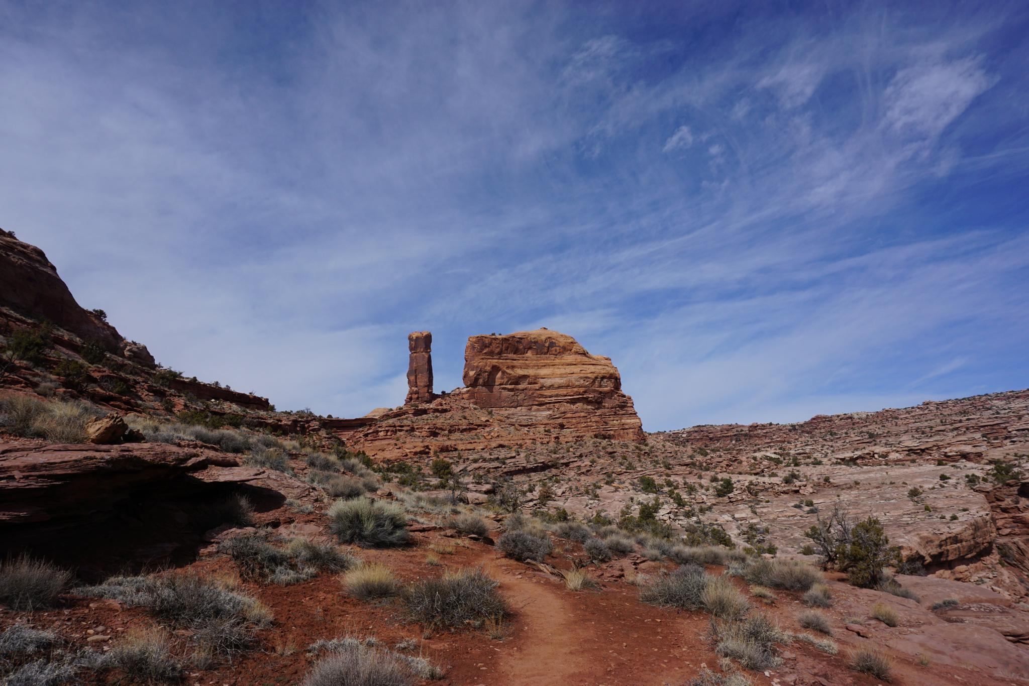
The trail goes between Gold Bar Tower and the mesa.
Route
To The Loop (1.2 miles)
From the parking area, the trail crosses under the railroad using the large culvert. Once on the other side, go left at the signed junction. The trail climbs to the railroad, then leaves the railroad and heads north.
Though the trail sees quite a bit of use, there are many errant cairns. Be sure to keep an eye out on the hike to stay on the most used path.
After about 1.2 miles, the loop junction is reached.
The Loop (1.6 miles)
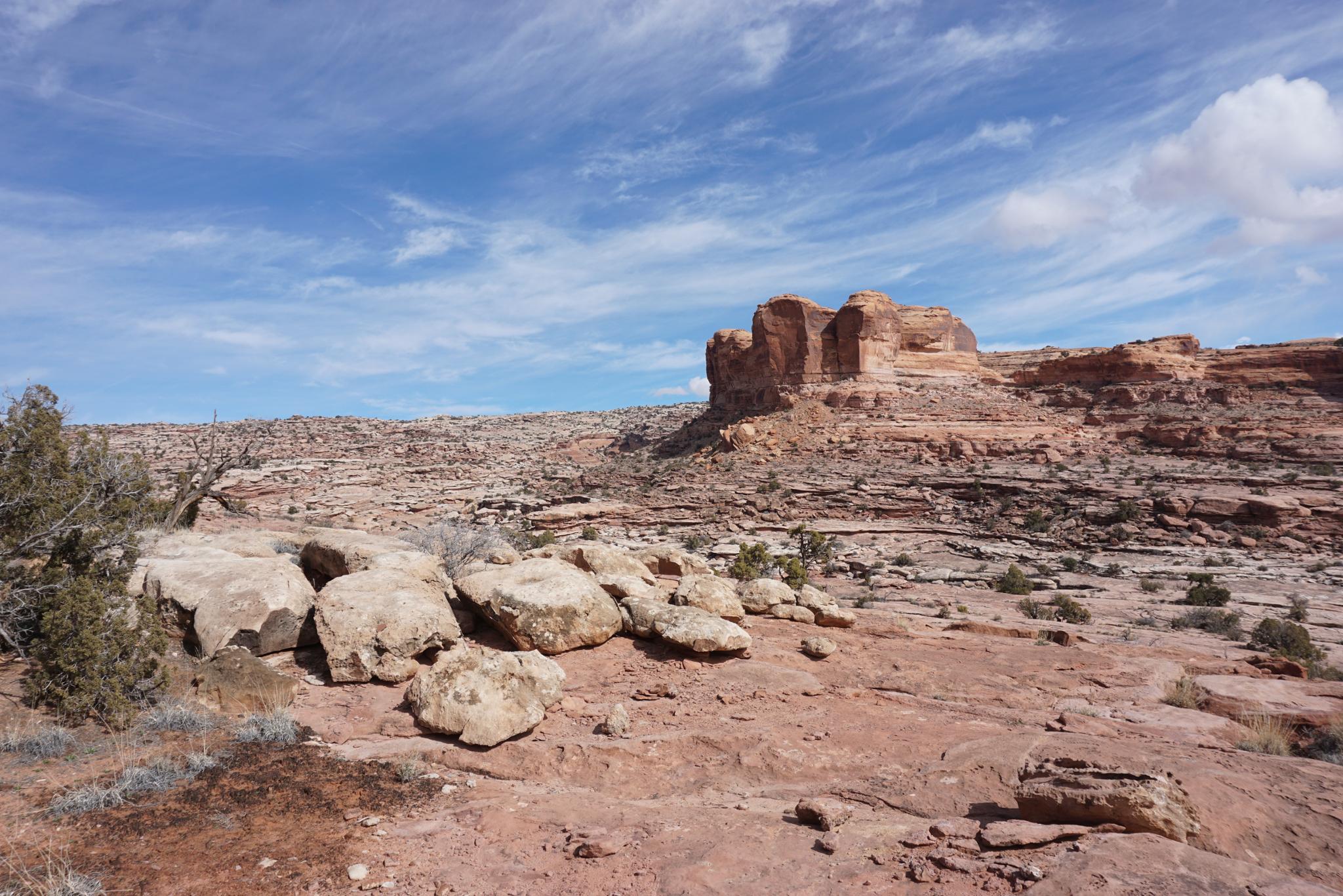
The loop can be done in either direction, but I think it is much more stunning when done clockwise. Go left at the loop junction. The trail works up to the base of Gold Bar Tower and passes it on its east side. Once between the tower and the mesa, be sure to pick up the trail again. It is down off the slickrock from the mesa in the dirt bottom.
The trail crosses an open plain, then the cliff wall that contains Gold Bar Arch comes into view. Stunning! The trail goes to the base, then scrambled up through the arch. This is a touch scrambly, but with little exposure.
The arch is a great lunch spot and has great views of the La Sal mountains and Behind the Reef area. The trail leaves the arch and heads back to the loop junction. Be sure to find the most used and cairned trail leaving the arch.
From the loop junction, it is an easy 1.2 miles back to the trailhead.
Photos
Maps
 Arch Hiking Map - Potash Road")
| Trailhead |
12S 618797mE 4270890mN N38° 34' 43" W109° 38' 10" |
| Loop Jct |
12S 618877mE 4272214mN N38° 35' 26" W109° 38' 06" |
| Arch |
12S 618479mE 4273156mN N38° 35' 56" W109° 38' 22" |